Services
LiDAR Mapping
Capture highly accurate terrain and elevation data for engineering, construction, land development, and infrastructure projects. Our LiDAR mapping solutions provide the detailed information needed for confident planning and decision-making.
High-Accuracy Terrain Data
Digital Elevation Models (DEM)
Fast & Efficient Data Collection
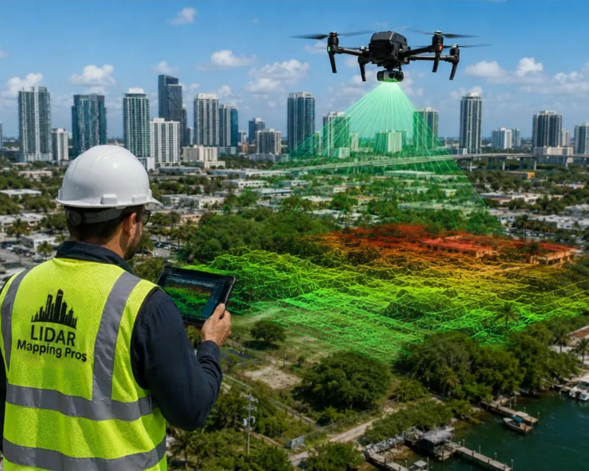

Drone Surveying
Our drone surveying services deliver accurate aerial imagery and site data while reducing field time and improving project efficiency.
Orthomosaic Mapping
Aerial Site Inspections
Construction Progress Monitoring

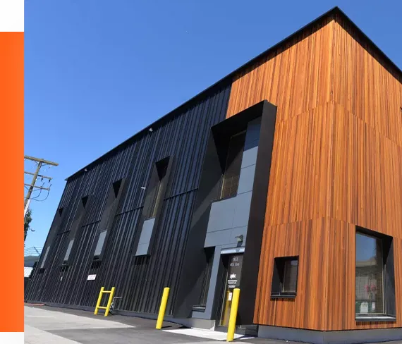
Commercial
Lorem Ipsum is simply dummy text of the printing and typesetting industry. Lorem Ipsum has been the industry's standard dummy text ever since the 1500s,when an unknown printer took a galley.
Lorem Ipsum is simply dummy tex.
Lorem ipsum is simply.
Lorem ipsum is simply.
Lorem ipsum is simply.
Point Cloud Processing
We transform LiDAR scans into detailed point clouds and mapping deliverables that support design, engineering, and construction workflows.
High-Density Point Clouds
CAD & GIS Compatible Files
Accurate Project Deliverables

✦ Get in Touch
Professional LiDAR Mapping Solutions for Your Project
LiDAR Mapping Pro
Professional LiDAR mapping. Accurate data. Reliable results.
Email: [email protected]
Phone: 1-888-376-6770
Our Services
Business hours
Monday: 9am to 5pm
Tueday: 9am to 5pm
wedday: 9am to 5pm
Thursday: 9am to 5pm
friday: 9am to 5pm
Copyright 2026. Auburnbusiness.com. All rights reserved.